


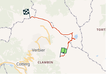


19.3 km | 32 km-effort

User


FREE GPS app for hiking
 SityTrail
IGN / Geographical institutes
SityTrail World
The world is yours!
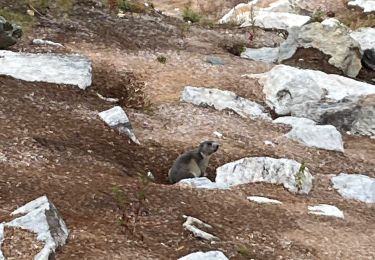
Trail Walking of 8.8 km to be discovered at Valais/Wallis, Entremont, Val de Bagnes. This trail is proposed by duamerg.
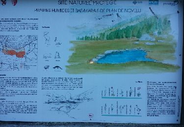
Laisser la voiture au Châble. Prendre une carte journalière (sfr 30 juillet 2013). Monter jusqu'au Ruinettes.
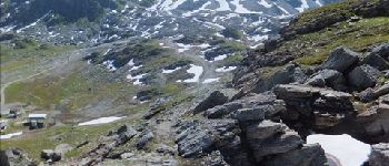
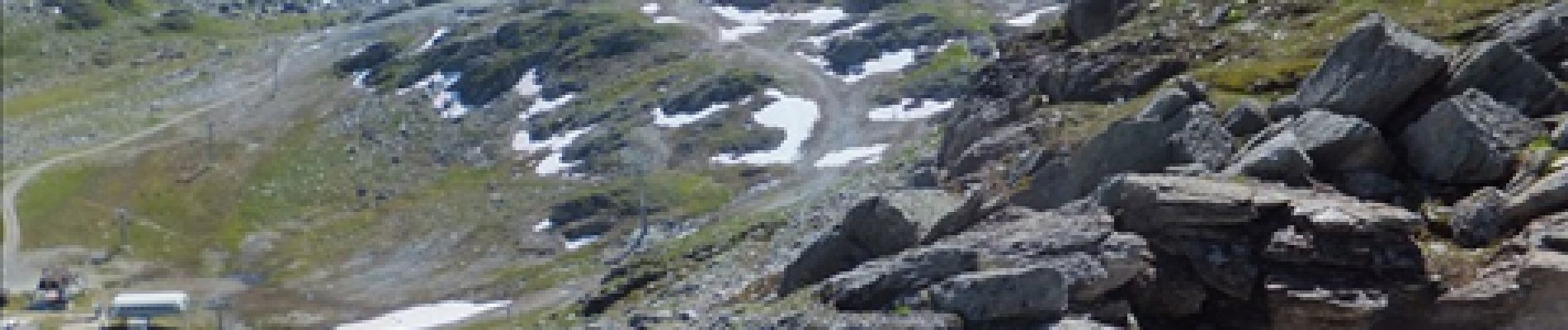
De là commence la montée au col par une mise en jambe puis une rude montée. Au sommet récompense avec une belle vue sur les alpes et les lacs.
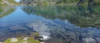
Descendre aux lacs pour pique niquer et se baigner, courage...
Suivre les indications du col des mines et ensuite direction Croix de coeur.
30m de montée sont ensuite demandées pour rejoindre les oeufs qui nous ramènent à Verbier. 1km de route pour rejoindre les autres remontées.
Si le temps le permet, remontez aux Ruinettes pour boire un coup puis descente jusqu'au Châble
Bonne condition requise, ce n'est pas une ballade du dimanche!


Walking

On foot

On foot

Walking

On foot
On foot

Walking

Walking

sport